Kusama's cold intermittent Karst springs A.jpg
Article

33210 / にいみし

Okayama Prefecture

Niimi City

A cliff hole has gushed at intervals.

Kusama intermittent cold spring

Photo by さかおり (CC BY-SA 4.0)

01 / Niimi Estate

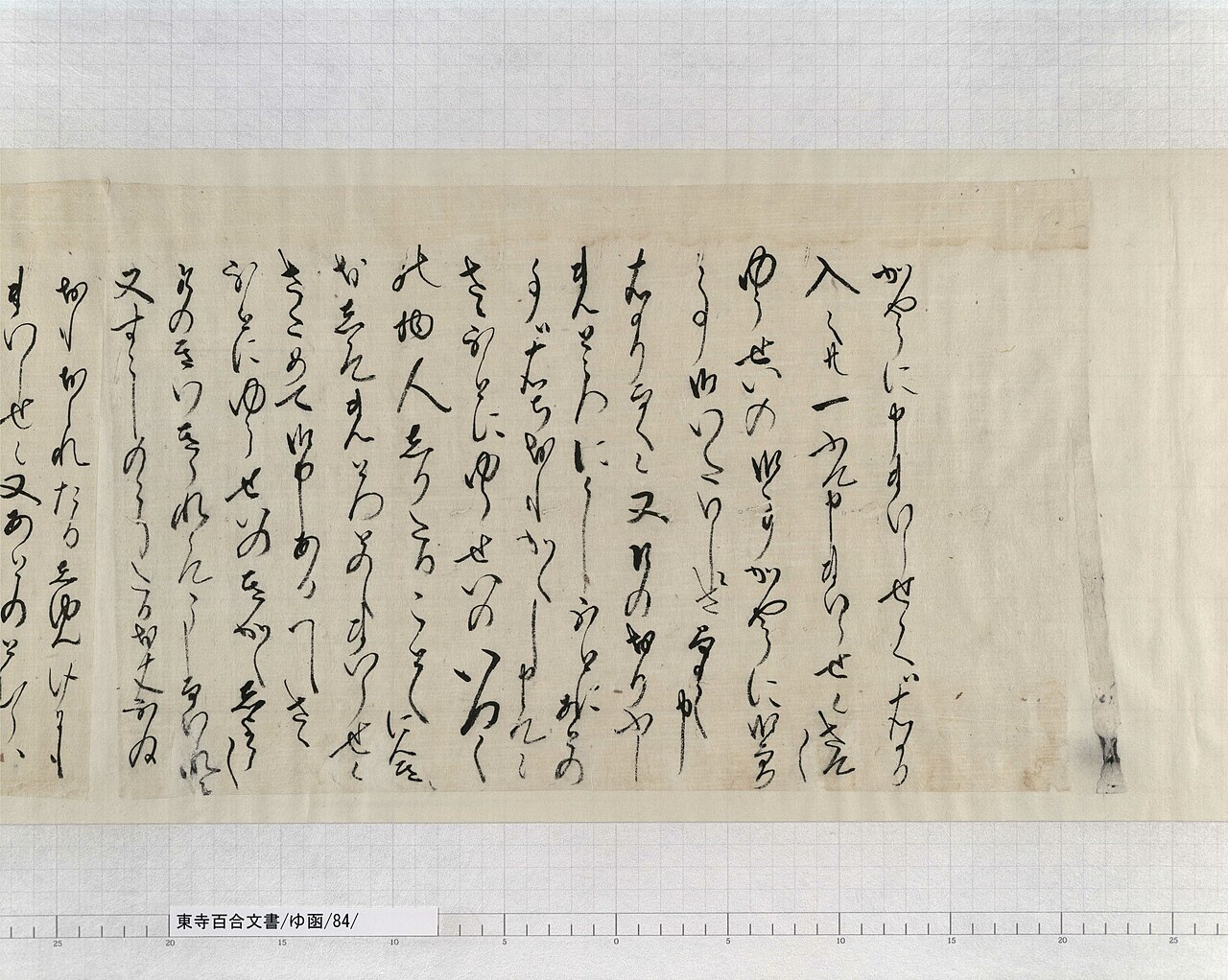
The national-treasure Toji Hyakugo Documentsinclude about 2,000 on the Niimi Estate.
東寺百合文書ゆ函84文書名たまかき書状并備中国新見庄代官祐清遺文01.jpg
Photo by 京都府立京都学・歴彩館(旧京都府立総合資料館) 資料課 (CC BY 2.5)

The Toji Hyakugo Documents, a national treasure, are held by the Kyoto Prefectural Institute for Kyoto Studies. The Niimi Estate (Niimi-no-sho) belonged to Toji temple from the late Kamakura period to the Sengoku period, and its documents include the "Tamakaki letter," written by a woman of the village. The rice-field plots of the Jito-gata Mandokoro site were confirmed to match a plan drawn in the documents.

  • National treasure (designated 1997)
  • About 2,000 documents on the Niimi Estate (city)
  • Jito-gata Mandokoro site: a square plot about 65 m by 50-55 m

02 / Dogeza Festival

While the procession passes,people along the road lower their bodies.

At the autumn grand festival of Funakawa Hachimangu Shrine, a procession leads the portable shrine. Sixty-four people carrying halberds, guns and bows advance to the call "Shita ni, shita ni." It is said to have begun when Seki Nagaharu, the first lord of the Niimi domain, had them guard the shrine's procession.

  • Autumn grand festival, every October 15
  • 64 people in total
  • City-designated folk cultural property (1974)

03 / Iwayama Station

The station takes its name from a local shrineand carried charcoal that supported Kumagai village.

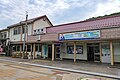
JRiwayamasta.jpg
Photo by 世界の坂田銀時 (CC0)

Iwayama Station is on the Kishin Line, in a village at the foot of a mountain (塩城山). Its wooden station building is a small station built to the former Ministry of Railways' standards, and appears to date from the station's opening in 1929. It became a nationally registered tangible cultural property in 2026.

  • Appears to date from the 1929 opening
  • Nationally registered tangible cultural property in 2026
  • The building is owned by Niimi City

Living here

At the source of the Takahashi River, most of the city is forest.

  • about 30,000 people

Niimi lies at the northwest tip of Okayama Prefecture, in the upper reaches of the Takahashi River. It borders Maniwa City to the east, Takahashi City to the south, Hino District of Tottori Prefecture to the north, and Shobara City of Hiroshima Prefecture to the west. Its area is 793.29 km2, of which 86.3% is forest (2015 Census of Agriculture and Forestry). The population is 24,749 (end of August 2026).

People living here
28,079people
20052020

−8.4% since 2015

36,073 → 28,079

Area
793.29km²

102.86km² of it habitable

2024

Households
11,324households

2.5 people per household

2020

Rent (average for rentals)
38,224yen

National average 60,630 yen

2023

Healthcare
4 hospitals / 27 clinics

11.0 per 10,000 people

2023

Area793.29km²Habitable land102.86km² / 13%
Area and habitable land at the same scalee-Stat B1101 / B1103

Population from 2005 onward (municipal boundary changed).2005-03-31 に合併。2005年調査から市域が変わっている。

Children waiting for childcare
—13 nurseries and similar
Home purchase subsidy
—
Average annual temperature
—

These 3 items are waiting on a nationwide data source. We do not fill them with estimates.

ACCESS

Where you can go from here.

Niimi City in Japan34.977°N 133.470°E
TokyoOsakaNiimi City
Niimi Station
新見駅2023
  • to TokyoSleeper ltd. exp. Sunrise Izumo617min

Travel times follow JR西日本公式「JRおでかけネット」のサンライズ瀬戸・サンライズ出雲の時刻表PDF(jikokuhyo.pdf・PDF作成2026-02-25)。下り5031M(サンライズ出雲)の欄で東京発21:26・新見着7:43 (checked 2026-09-30). They vary by time of day.

Shape

Borders 6 municipalities across 2 prefectures.

Territory of Niimi City
Boundaries: National Land Numerical Information (N03)

North to south

37.4km

Okayama Prefecture
高梁市, 真庭市, 新庄村
Tottori Prefecture
日南町, 日野町
Hiroshima Prefecture
庄原市

Niimi City isthis kind of town.

  1. 01The Kusama intermittent cold spring is a nationally designated natural monument: water wells from a hole in a rock wall above the Sabushi River, a tributary of the Takahashi, at intervals. Locals have called it "Shiotaki." The description at designation says a small amount of water leaks at ordinary times, then the flow increases and wells up.
  2. 02Forest covers 86.3% of Niimi's 793.29 km2. In the north, Chiya is home to Chiya beef, a Japanese Black lineage which the city describes as descending from the oldest "tsuru-ushi" line in Japan. In Osa lies the site of the Osakabe school (Hokoen), which Yamada Hokoku opened late in life.
  3. 03Rashomon and the Koigakubo wet-plant community are national natural monuments, and Makido is one of the prefectural natural monuments called "Atetsu-dai." In Otake, Tessei, stand a boundary marker between Bicchu and Bingo and the Nihonmatsu border site, along with a poem monument to Wakayama Bokusui.

If something caught your eye, ask the town itself.