Imamura Catholic Church.jpg
Article

40503 / たちあらいまち

Fukuoka Prefecture 三井郡

Tachiarai Town

Twin towers where faith reputedly held.

Imamura Church, by Tetsukawa

Photo by STA3816 (CC BY-SA 3.0)

01 / Kikuchi Takemitsu Statue and the Town's Name

The town's name traces to the tale ofa blood-soaked sword being washed.

Statue of Kikuchi Takemitsu.jpg
Photo by Musuketeer.3 (CC BY-SA 3.0)

In the 8th month of Shohei 14 (1359), Kikuchi Takemitsu (菊池武光) defeated Shoni Yorihisa (少弐頼尚) at Ohobaru (大保原). Pursuing the fleeing enemy, he is said to have washed his bloodied sword in a stream in the town, which the town's site gives as the origin of its name. His bronze statue was erected in 1937 (Showa 12) and stands in Tachiarai Park (大刀洗公園).

  • Shohei 14 (1359)
  • Statue erected in 1937 (Showa 12)
  • Bronze statue of the warrior the town's name recalls
02 / Ozeki Shrine and Tokoshima Weir

Where a water shrine is said to have beenprayed to, the weir's builders are enshrined.

大堰神社 修復再建碑文.jpg
Photo by 5shoya (CC BY-SA 3.0)

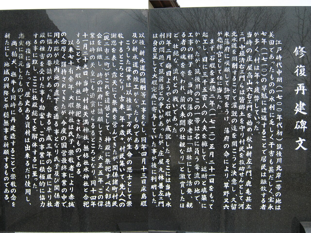
Ozeki Shrine (大堰神社) enshrines Kusano Mataroku (草野又六) and the village headmen who led the hard work on Tokoshima Weir (床島堰), and stands where a water shrine, said to have been prayed to for the works' completion, once stood. Tokoshima Weir is the collective name of Eri Weir (恵利堰), Tokoshima Weir and Sada Weir (佐田堰); its irrigated area is about 3,000 hectares.

  • Work began in Shotoku 2 (1712) under Kusano Mataroku
  • Irrigated area of about 3,000 hectares
  • Suitengu Grand Festival held each year on 5 May

03 / Shimotakahashi Government Office Site

The district office may have movedfrom Ogori to this hill.

Shimotakahashi Kanga ruins.jpg
Photo by MChew (CC BY-SA 4.0)

Shimotakahashi Government Office Site (下高橋官衙遺跡) is the remains of a Nara-period district office on a hill on the east bank of the Homan River (宝満川), and a National Historic Site. The district government office compound is thought to lie in the east and the storehouse compound for tax rice in the west. The town says the Mihara District (御原郡) office may have moved here in the mid-8th century from the Ogori Government Office Site (小郡官衙遺跡), 3.5 km to the northwest.

  • National Historic Site since 1998 (Heisei 10)
  • Square compounds side by side, east and west
  • 13 buildings regarded as raised-floor storehouses

Living here

Residents chosen by lottery discuss the town's issues.

  • about 20,000 people
  • Rural district town

The town's residents' council, the "Jibungoto-ka Kaigi" (自分ごと化会議), sends invitations to residents chosen at random and seats those who apply. In fiscal 2025 (Reiwa 7) its 12th term took up "Community and Disability Welfare of the Future"; 492 people were invited and 25 applied.

People living here
15,521people
19952020

+2.5% since 2015

14,755 → 15,521

Area
22.84km²

22.83km² of it habitable

2024

Households
5,616households

2.8 people per household

2020

Rent (average for rentals)
49,135yen

National average 60,630 yen

2023

Healthcare
1 hospital / 8 clinics

5.8 per 10,000 people

2023

Almost entirely flat.Almost all of it is habitable land (100.0%)
Area and habitable land at the same scalee-Stat B1101 / B1103
Children waiting for childcare
—5 nurseries and similar
Home purchase subsidy
—
Average annual temperature
—

These 3 items are waiting on a nationwide data source. We do not fill them with estimates.

Shape

Surrounded by 4 municipalities, and almost entirely flat.

Tachiarai Town in Japan33.372°N 130.622°E
TokyoOsakaTachiarai Town
Territory of Tachiarai Town
Boundaries: National Land Numerical Information (N03)

North to south

6.7km

朝倉市, 小郡市, 久留米市, 筑前町

Travel times per leg are not published by the municipality, so they are not shown.

Tachiarai Town isthis kind of town.

  1. 01Imamura Tenshudo (今村天主堂) is a red-brick church in Oaza Ima, Tachiarai, designed by Tetsukawa Yosuke (鉄川与助) and completed in 1913 (Taisho 2); it became an Important Cultural Property in 2015. Its front has twin towers on an octagonal plan. Interior visits are suspended for seismic reinforcement work, but the exterior can be viewed.
  2. 02The town has Saikoji Temple's (西光寺) wooden Amida triad, thought to date from the Kamakura to Muromachi periods. The Tachiarai Edamame Harvest Festival (大刀洗えだまめ収穫祭) was held in June 2025, its 10th year.
  3. 03The town lies on the Chikugo Plain and has Ozeki Station (大堰駅) on the Nishitetsu Amagi Line. The town's name is written "Tachiarai (大刀洗)", with a different first character from the "Tachiarai (太刀洗)" of neighbouring Chikuzen.

See the town as it is now.

Source: Wikidata (P2002, P2003, P2013, P2397)

If something caught your eye, ask the town itself.