Former Ota Middle School Hall, Hitachiota City
Article

08212 / ひたちおおたし

Ibaraki Prefecture

Hitachiota City

Its builder went on to work in Western style.

Former Ota Middle School Hall

Photo by トリー准将 (CC BY-SA 4.0)

01 / Crop calendar

Fitting the roughly three months between tobacco and wheatwas said to be one criterion in choosing the seed.

Akatsuchi Village was the birthplace of tobacco growing in the Mito domain, known as Suifu tobacco. Tobacco is planted in mid-April and harvested in late July; buckwheat is then sown and harvested in mid-October, in the roughly three months between the tobacco harvest and the wheat sowing. The seed of Hitachi Akisoba is raised in Akatsuchi's seed fields and passed to farmers through JA and other channels.

  • Tobacco planted in mid-April
  • Buckwheat harvested in mid-October
  • Seed raised in Akatsuchi's seed fields

02 / Town hall

A donation from a native who made good in Hakodatepaid for the town hall.

Town hall in Hitachiota City
Photo by Suikotei (CC BY-SA 4.0)

Umezu Kaikan was built in 1936 as the Ota Town Office, with a donation from a former Ota Town native who started a business in Hakodate. After the city hall moved in 1978 it became a local history museum, and a 2014 project restored its interior to its original appearance. It became a nationally registered cultural property in 1999.

  • Built in 1936 as the Ota Town Office
  • Interior restored in 2014
  • National registration, 1999

03 / Dengaku

A dance offered at the great festival every 72 yearsand the small festival every six.

Dengaku in Hitachiota City
Photo by Koda6029 (CC BY-SA 4.0)

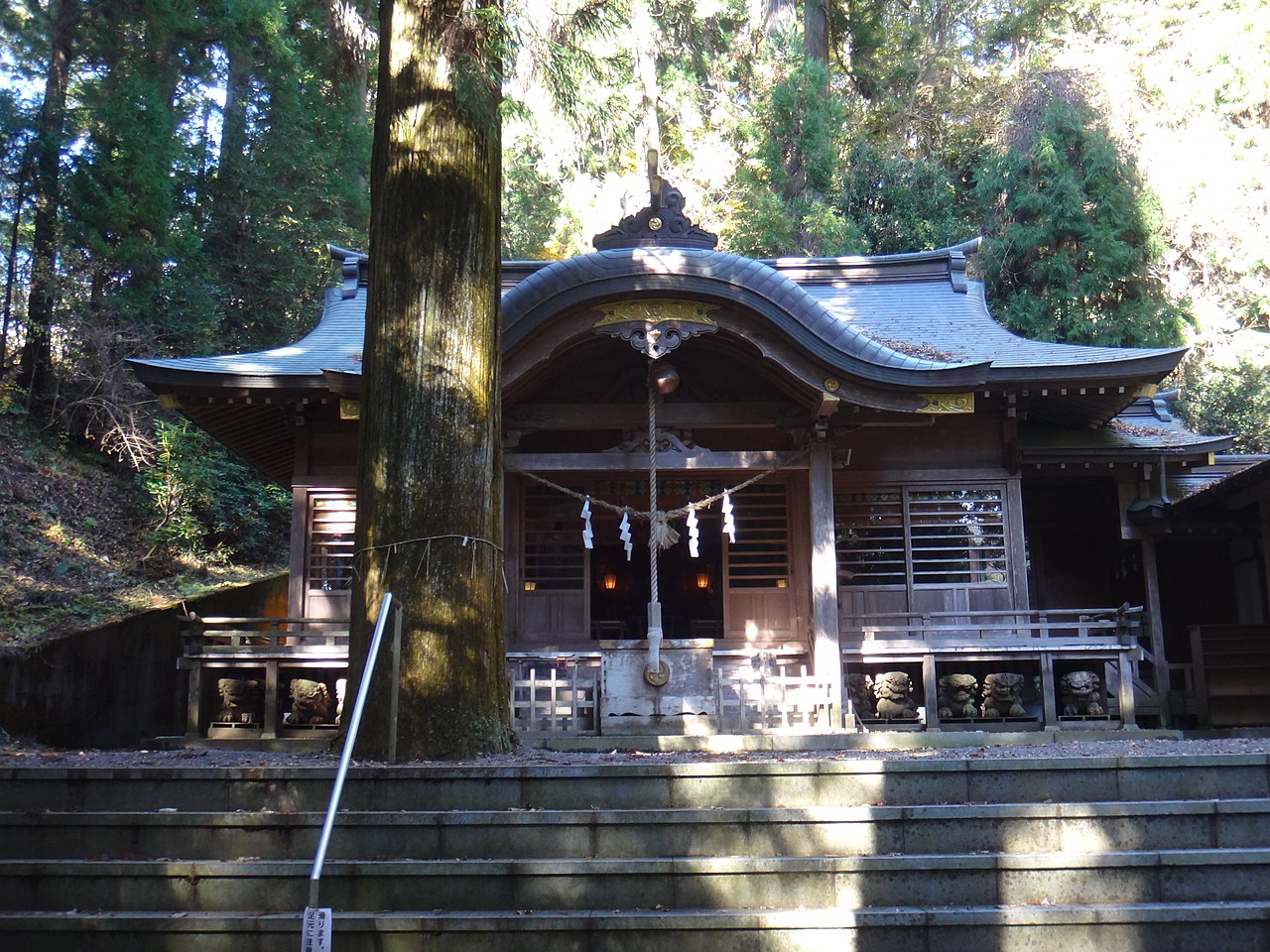
The dengaku dance of Nishikanasa Shrine is offered at the Isode Great Festival held every 72 years and at the small festival held every six years, among other occasions. It has four parts: Shiho-gatame, Shishi-mai, Tane-maki and Ippon-takaashi. In Tane-maki, rice seed is scattered and spectators gather it up. It is a prefectural cultural property and also a nationally selected item as Kanasa Dengaku.

  • Isode Great Festival every 72 years
  • Small festival every six years
  • Nationally selected as Kanasa Dengaku

Hitachiota City from the sky

Now and 1974–78. Tap a photo to zoom in.

Wide (about 6 km across)

Close (about 1.5 km across)

2012 (shot FY2012)Shot 1974–78

Source: Geospatial Information Authority of Japan (GSI) GSI Tiles(年度別空中写真(2012年度)/国土画像情報(第一期:1974〜1978年撮影))

Open in GSI Maps (now)Open in GSI Maps (1974–78)

Living here

About 40 minutes from Mito on the Suigun Line.

  • about 50,000 people

The city introduces itself as 20 km from the prefectural capital Mito and within 120 km of Tokyo. In 1954 one town and six villages merged to form the city, and in 2004 three more municipalities were added. It records that from the late Heian period it was the home base of the Satake clan for about 470 years. From Mito Station, it says, the Suigun Line reaches Hitachi-Ota Station in about 40 minutes.

People living here
48,602people
20052020

−7.1% since 2015

59,802 → 48,602

Area
371.99km²

88.77km² of it habitable

2024

Households
19,243households

2.5 people per household

2020

Rent (average for rentals)
40,145yen

National average 60,630 yen

2023

Healthcare
4 hospitals / 21 clinics

5.1 per 10,000 people

2023

Area371.99km²Habitable land88.77km² / 24%
Area and habitable land at the same scalee-Stat B1101 / B1103

Population from 2005 onward (municipal boundary changed).2004-12-01 に合併。2005年調査から市域が変わっている。

Children waiting for childcare
—8 nurseries and similar
Home purchase subsidy
—
Average annual temperature
—

These 3 items are waiting on a nationwide data source. We do not fill them with estimates.

ACCESS

Where you can go from here.

Hitachiota City in Japan36.538°N 140.531°E
OsakaHitachiota City
Hitachi-Ota Station
常陸太田駅2021
  • to TokyoHighway bus124min
  • to ShinjukuHighway bus164min

Travel times follow 常陸太田市公式「令和8年7月6日(月)から、高速バスの運行が一部変更となります」(2026-06-24 更新。https://www.city.hitachiota.ibaraki.jp/kurashi/sumai-traffic/traffic/page010685.html)に付く茨城交通『高速バス 常陸太田・常陸大宮・大子⇔浅草・上野・東京・バスタ新宿』時刻表PDF(2026年7月6日改正。https://www.city.hitachiota.ibaraki.jp/data/doc/1782289786_doc_40_0.pdf)を、画像に起こして目で読んだ(2026-10-22)。下り(東京駅八重洲南口・バスタ新宿 → 常陸太田市高速バスターミナル)の運行日が『毎日』の太田3・5・9・11号:東京駅八重洲南口発 16:10・17:20・19:20・20:30 → 常陸太田市高速バスターミナル着 18:14・19:24・21:24・22:34=どれも124分。バスタ新宿4F発は太田5号 16:40 → 19:24・太田9号 18:40 → 21:24=どちらも164分(太田3・11号はバスタ新宿を出ない) (checked 2026-10-22). They vary by time of day.

Shape

Borders 7 municipalities across 1 prefectures.

Territory of Hitachiota City
Boundaries: National Land Numerical Information (Administrative Area Data), MLIT. Processed by Machigatari.Lakes: National Land Numerical Information (Lake Data), MLIT. Processed by Machigatari. Prepared with the approval of the Director-General of the Geospatial Information Authority of Japan, using its Digital Map 25000 (Spatial Data Framework) and Digital Map 25000 (Place Names and Public Facilities). (承認番号 平27情使、第585号)

North to south

41.5km

Fukushima Prefecture
Yamatsuri Town, Hanawa Town

Hitachiota City isthis kind of town.

  1. 01The Former Ota Middle School Hall is a Western-style hall completed in 1904, now a museum of Ota Daiichi High School. According to the school, its contractor was a city native, who took a strong interest in Western-style building after working on the hall and went on to build Umezu Kaikan and others. It was designated an Important Cultural Property in 1976
  2. 02Umezu Kaikan was built in 1936 as the Ota Town Office and is now a local history museum, a nationally registered building. In Akatsuchi, in the Kanasago district, there are seed fields where Hitachi Akisoba seed is raised
  3. 03The dengaku dance of Nishikanasa Shrine, offered at the Isode Great Festival held every 72 years among other occasions, is a prefectural cultural property. The city also has the Satake-ji main hall, nationally designated, and Seizanso, a national historic site and place of scenic beauty

See the town as it is now.

Source: Wikidata (P2002, P2003, P2013, P2397)

If something caught your eye, ask the town itself.

From this town's themes