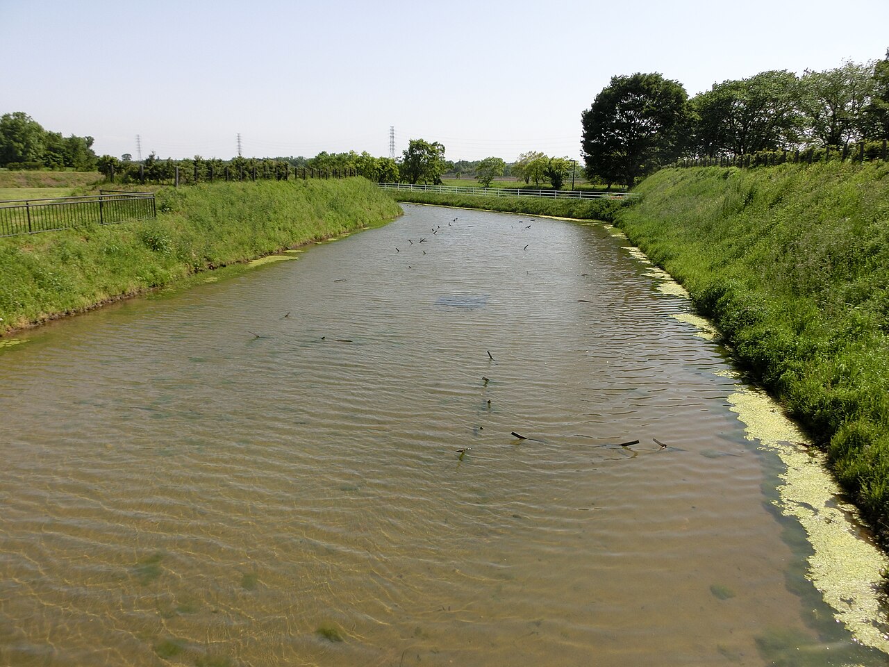
Hirasawa Kanga, storehouse reeds, Tsukuba City
Article

08220 / つくばし

Ibaraki Prefecture

Tsukuba City

An institute's reeds also thatch roofs.

Hirasawa Kanga, storehouse reeds

Photo by Saigen Jiro (CC0)

01 / Hall

A hall with a pentagonal plan,designed by a Yatabe village headman.

Hall in Tsukuba City
Photo by On-chan (CC BY-SA 3.0)

The city records that Gokakudo was designed by Iizuka Igashichi, a Yatabe village headman known in the late Edo period as "Karakuri Igashichi." Its plan is a pentagon, which the city calls hard to build, and it has the form of a regular pentagonal pyramid. It was designated a prefectural historic site, "Gokakudo and Japanese Clock," in 1958, and a replica of the clock is at the Yatabe Local History Museum.

  • Prefectural historic site (1958)
  • Pentagonal plan (regular pentagonal pyramid)
  • Clock replica at Yatabe Local History Museum

02 / Residence

A building researcher put vents throughouta wooden experimental house.

Residence in Tsukuba City
Photo by GajumaruKatsuta (CC BY 4.0)

The former Yanaka residence in Hojo was built by building-materials researcher Yanaka Ryujiro over 15 years from 1938. The nonprofit that preserves it describes the main house as a single-story wooden experimental home, with a flat roof, yellow outer walls and vents throughout. It was designated an Important Cultural Property in September 2023.

  • Important Cultural Property (Sept. 2023)
  • Main house: single-story, wooden, flat roof
  • Built over 15 years from 1938 (nonprofit)

03 / Castle ruins

A moat about 4 m wide in the 14th century,about 20 to 30 m by the late Sengoku period.

Castle ruins in Tsukuba City
Photo by Abasaa (Public domain)

Oda Castle Site is the ruin of the Oda clan's castle and was designated a National Historic Site in 1935. The city records that the moat around the main enclosure was about 4 m wide around the 14th century, and that by the late Sengoku period a moat about 20 to 30 m wide and 4 to 5 m deep and an earthwork 10 to 15 m wide were built. Kitabatake Chikafusa wrote the Jinno Shotoki at this castle.

  • National Historic Site (1935)
  • Moat about 20-30 m wide, 4-5 m deep (late Sengoku)
  • Kitabatake Chikafusa wrote the Jinno Shotoki

Tsukuba City from the sky

Now and 1974–78. Tap a photo to zoom in.

Wide (about 6 km across)

Close (about 1.5 km across)

Now (shot February 2017)Shot 1974–78

Source: Geospatial Information Authority of Japan (GSI) GSI Tiles(全国最新写真(シームレス)/国土画像情報(第一期:1974〜1978年撮影))

Open in GSI Maps (now)Open in GSI Maps (1974–78)

Living here

45 minutes to Akihabara, 65 to Tokyo.

  • about 240,000 people
  • 90 min to a city centre

The city covers 283.72 km², and most of it outside the Mt. Tsukuba area is a flat plateau 20 to 30 m above sea level. The Tsukuba Express Rapid takes 45 minutes at best to Akihabara, and the Tsukuba highway bus takes 65 minutes from Tokyo Station. City Hall is about a 7-minute walk from Kenkyu-gakuen Station.

People living here
241,656people
20052020

+6.5% since 2015

200,528 → 241,656

Area
283.72km²

231.7km² of it habitable

2024

Households
110,490households

2.2 people per household

2020

Rent (average for rentals)
55,632yen

National average 60,630 yen

2023

Healthcare
12 hospitals / 206 clinics

9.0 per 10,000 people

2023

Area283.72km²Habitable land231.7km² / 82%
Area and habitable land at the same scalee-Stat B1101 / B1103

Population from 2005 onward (municipal boundary changed).2002-11-01 に合併。2005年調査から市域が変わっている。

Children waiting for childcare
—56 nurseries and similar
Home purchase subsidy
—
Average annual temperature
—

These 3 items are waiting on a nationwide data source. We do not fill them with estimates.

ACCESS

Where you can go from here.

Tsukuba City in Japan36.084°N 140.076°E
OsakaTsukuba City
Kenkyu-gakuen Station
研究学園駅2012
  • to AkihabaraTsukuba Express45min
  • to TokyoHighway bus65min

Travel times follow 首都圏新都市鉄道のニュースリリース(2024-01-25。2024-03-16 ダイヤ改正)の『快速列車の秋葉原〜つくば駅間の所要時間(最速45分)に変更はありません』(快速は平日・土曜休日の両方に停車駅表がある)。つくば市公式『交通アクセス』の『市中心部と秋葉原間を約45分で結ぶつくばエクスプレス』。高速バスは関東鉄道『つくば〜東京駅線』運行時刻表(2025年10月1日改正)の下り(東京駅発→つくばセンター着) (checked 2026-10-22). They vary by time of day.

Shape

Borders 9 municipalities.

Territory of Tsukuba City
Boundaries: National Land Numerical Information (Administrative Area Data), MLIT. Processed by Machigatari.Lakes: National Land Numerical Information (Lake Data), MLIT. Processed by Machigatari. Prepared with the approval of the Director-General of the Geospatial Information Authority of Japan, using its Digital Map 25000 (Spatial Data Framework) and Digital Map 25000 (Place Names and Public Facilities). (承認番号 平27情使、第585号)

Tsukuba City isthis kind of town.

  1. 01Hirasawa Kanga Site, an ancient district office site in Tsukuba District of Hitachi Province, is a National Historic Site; of its three reconstructed raised storehouses, the roof of the Dokura was re-thatched with reeds procured from the High Energy Accelerator Research Organization in the city
  2. 02Gokakudo in Yatabe has a pentagonal plan and was designed by Iizuka Igashichi, known as "Karakuri Igashichi"; it is a prefectural historic site, "Gokakudo and Japanese Clock"
  3. 03The former Yanaka residence in Hojo, built by the building-materials researcher Yanaka Ryujiro, is an Important Cultural Property, and Oda Castle Site is a National Historic Site where Kitabatake Chikafusa wrote the Jinno Shotoki

See the town as it is now.

Source: Wikidata (P2002, P2003, P2013, P2397)

If something caught your eye, ask the town itself.

From this town's themes