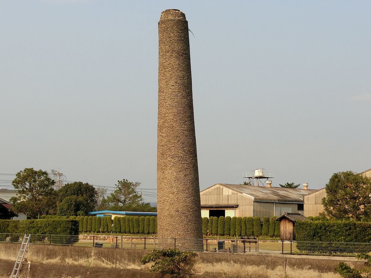
01 / Suo Kokuga Ruins
The "Bo" of Hofu comes from Suo,and the "Fu" from kokufu, the provincial capital.

A kokuga was the office where provincial governors carried out government. The Suo Kokuga ruins cover about 92,500 square meters south of Mt. Tatara and were designated a National Historic Site in 1937. The designated area includes the government-office zone, where the main buildings are thought to have stood, and the Funadokoro and Hamanomiya districts, believed to be the site of the provincial port.
- Suo Kokuga ruins: National Historic Site (designated 1937)
- Designated area: about 92,500 sq m
- Place names Kokuga, Tatara, Mure and Kachima remain in the city