Yokokawa no Jaishi (Snake Rock), Tatsuno Town
Article

20382 / たつのまち

Nagano Prefecture 上伊那郡

Tatsuno Town

A serpent-like rock lies in the stream.

Yokokawa no Jaishi (Snake Rock)

Photo by さかおり (CC BY-SA 4.0)

01 / Ono Weeping Chestnut Habitat

On a west-facing slope of about 2.24 ha,over 900 weeping chestnuts grow wild in a stand.

Ono Weeping Chestnut Habitat in Tatsuno Town
Photo by さかおり (CC BY-SA 4.0)

On the west-facing slope of Tengubara in Nirezawa, weeping chestnuts grow wild in a stand. They combine drooping branches with dying terminal buds, so their shapes vary widely. The site was designated a National Natural Monument in 1920, and the tree became the town's tree in 1985. A local tale says Kobo Daishi lowered the branches.

  • Slope of about 2.24 ha
  • Over 900 trees growing wild
  • National Natural Monument, 1920

02 / Ono-juku

An inn, a post office, a town office, a fire tower:registered buildings in a post town on the Ina Road.

Ono-juku was the first post town on the Ina Road, which runs from Shiojiri-juku on the Nakasendo toward Iida. The main house of the former Ozawa Residence (Aburaya), once an inn, dates from 1861, the former Ono Village Office from 1905, the former Ono Post Office from 1932 and the Shimomachi fire tower from 1955. All are Registered Tangible Cultural Properties.

  • First post town on the Ina Road
  • Main house 1861, office 1905, post office 1932
  • Fire tower: 17 m, steel frame

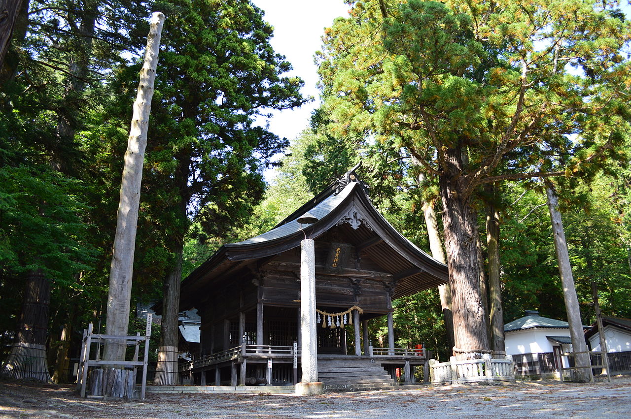
03 / The Grove of Yahiko Shrine

At the edge of an alluvial fan, a grove rich in spring water.About 298 kinds of plants grow here.

The Grove of Yahiko Shrine in Tatsuno Town
Photo by Saigen Jiro (CC0)

The grove enclosing Yahiko Shrine and Ono Shrine in Shiojiri City has long been protected as a sacred wood. It lies at the edge of an alluvial fan with plentiful spring water, and its giant hinoki, sugi, nara-gashiwa and katsura trees are estimated to be about 300 years old. It became a Prefectural Natural Monument in 1960.

  • About 298 kinds of plants
  • Giant trees estimated about 300 years old
  • Prefectural Natural Monument, 1960

Tatsuno Town from the sky

Now and 1974–78. Tap a photo to zoom in.

Wide (about 6 km across)

Close (about 1.5 km across)

Now (shot April 2016)Shot 1974–78

Source: Geospatial Information Authority of Japan (GSI) GSI Tiles(全国最新写真(シームレス)/国土画像情報(第一期:1974〜1978年撮影))

Open in GSI Maps (now)Open in GSI Maps (1974–78)

Living here

Six JR stations stand within the town.

  • about 20,000 people
  • Rural district town

The town has three JR East stations, Tatsuno, Shinano-Kawashima and Ono, and three JR Central stations, Miyaki, Ina-Shimmachi and Haba. The town's own site gives the walk to the town hall as 15 minutes from Tatsuno Station and 10 minutes from Miyaki Station. Its gateway is Tatsuno Station.

People living here
18,555people
19952020

−6.1% since 2015

23,193 → 18,555

Area
169.2km²

26.96km² of it habitable

2024

Households
7,258households

2.6 people per household

2020

Rent (average for rentals)
28,853yen

National average 60,630 yen

2023

Healthcare
1 hospital / 13 clinics

7.5 per 10,000 people

2023

Area169.2km²Habitable land26.96km² / 16%
Area and habitable land at the same scalee-Stat B1101 / B1103
Children waiting for childcare
—6 nurseries and similar
Home purchase subsidy
—
Average annual temperature
—

These 3 items are waiting on a nationwide data source. We do not fill them with estimates.

Shape

Borders 5 municipalities.

Tatsuno Town in Japan35.982°N 137.988°E
OsakaTatsuno Town
Territory of Tatsuno Town
Boundaries: National Land Numerical Information (Administrative Area Data), MLIT. Processed by Machigatari.Lakes: National Land Numerical Information (Lake Data), MLIT. Processed by Machigatari. Prepared with the approval of the Director-General of the Geospatial Information Authority of Japan, using its Digital Map 25000 (Spatial Data Framework) and Digital Map 25000 (Place Names and Public Facilities). (承認番号 平27情使、第585号)

North to south

17.3km

Travel times per leg are not published by the municipality, so they are not shown.

Tatsuno Town isthis kind of town.

  1. 01A white quartz vein cuts regularly, at intervals of 15 to 50 cm, across a rock dike running through the Yokokawa River bed; its resemblance to a snake's belly patterning gave it the name Jaishi, and it became a National Natural Monument in 1940
  2. 02The Ono Weeping Chestnut Habitat, a National Natural Monument, has over 900 trees growing wild on a slope of about 2.24 ha, and Ono-juku on the Ina Road has Registered Tangible Cultural Properties, including the former Ozawa Residence, once an inn
  3. 03The grove around Yahiko Shrine, together with Ono Shrine, is a Prefectural Natural Monument, and the town has six JR stations

If something caught your eye, ask the town itself.